Tetipac, Guerrero: Las Grutas de Cacahuamilpa; The Caves of Cacahuamilpa
Las Grutas de Cacahuamilpa se encuentran en la cordillera Sierra Madre del Sur en los estados de Guerrero y Morelos. Cacahuamilpa significa "la sementera de cacahuates." La entrada a las grutas, en el estado de Guerrero, está a 52 kilómetros de Taxco en la carretera 166. Las grutas fueron descubiertas en 1834 por Manuel Sáenz de la Peña, y fueron declaradas parque nacional en 1936.
Las grutas tienen una extensión de cuatro kilómetros o más debajo de las montañas. Solamente dos kilómetros de esa distancia han sido explorados. Hay dos ríos subterraneos en las grutas, el Río Chontalcoatlán y el Río San Jerónimo.
Son administradas por dos entidades gubernamentales, la Secretaría de Medio Ambiente y Recursos Naturales y la Comisión Nacional de Areas Naturales Protegidas.
The Grottos of Cacahuamilpa are located in the Sierra Madre del Sur mountain range in the states of Guerrero and Morelos. Cacahuamilpa means "the place where peanuts are grown." The entrance to the grottos, in the state of Guerrero, is 52 kilometers from Taxco on highway 166. The grottos were discovered in 1834 by Manuel Saenz de la Pena, and they became a national park in 1936.
The grottos extend four or more kilometers into the mountains. Only two kilometers of that distance have been explored. There are two underground rivers in the caves, the Chontalcoatlan and the San Jeronimo.
The grottos are administered by two agencies, the Secretaria de Medio Ambiente y Recursos Naturales (Secretaria of the Environment and Natural Resources) and the Comision Nacional de Areas Naturales Protegidas (National Commission of Natural Protected Areas).
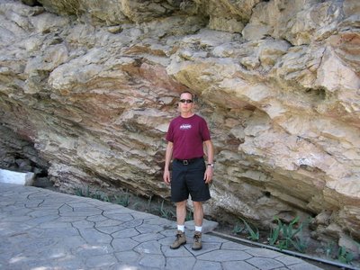
Vamos a ver las grutas!
Let's go see the grottos!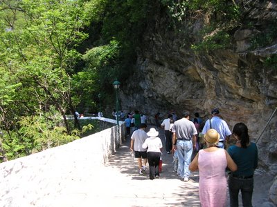 Esperando a que comience el próximo recorrido.
Waiting for the next tour to start.
The grottos extend four or more kilometers into the mountains. Only two kilometers of that distance have been explored. There are two underground rivers in the caves, the Chontalcoatlan and the San Jeronimo.
The grottos are administered by two agencies, the Secretaria de Medio Ambiente y Recursos Naturales (Secretaria of the Environment and Natural Resources) and the Comision Nacional de Areas Naturales Protegidas (National Commission of Natural Protected Areas).
Vamos a ver las grutas!
Let's go see the grottos!
 Esperando a que comience el próximo recorrido.
Waiting for the next tour to start.
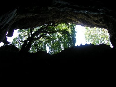
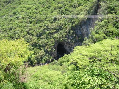
Dos Bocas: Los ríos Chontalcoatlán y San Jerónimo emergen de las grutas aquí.
Dos Bocas: The Chontalcoatlan and the San Jeronimo Rivers emerge from underground here.


<< Home